0.1397 m
3D RMSE around the series mean after attitude correction, using 32 accepted observations. This measures scatter, not error against ground truth.
AquaBeacon combines optical direction sensing and acoustic ranging to estimate the position of an underwater unit relative to a surface unit. Our goal is to connect underwater imagery with location for environmental surveys.
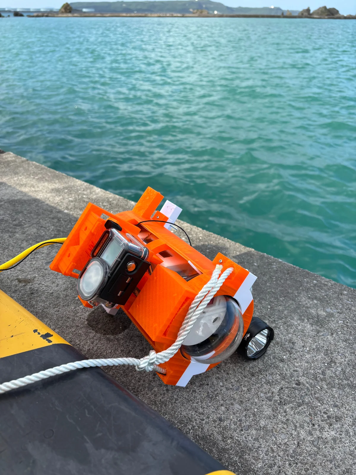
The surface unit supplies a GNSS reference and observes the underwater unit's light. Acoustic travel time provides range. Attitude, depth and sensor mounting offsets help relate observations in a common coordinate system.
Current published results are processed from recorded observations. Integrated real-time operation and accuracy against independent ground truth remain to be demonstrated.
Track the underwater light source to estimate direction.
Use acoustic travel time to estimate distance.
Reconstruct imagery, then use navigation and depth to estimate scale and placement.
0.1397 m
3D RMSE around the series mean after attitude correction, using 32 accepted observations. This measures scatter, not error against ground truth.
82,500 points
230 photo surfaces across five accepted sections, with navigation tracks for all seven sections. Scale and placement are provisional; cross-day image connections are unverified.
Drag to rotate, pinch to zoom, and use two fingers to pan. Replay navigation in time; the map remains the final post-processed result.
Optical tracking, acoustic ranging, attitude correction and synchronization.
Hardware, mechanical assemblies, firmware, analysis and simulation.
19 repositories, design specifications, reports, data provenance and licenses.
Detailed documentation and the viewer interface are currently in Japanese. Most original code and designs use Apache-2.0; check each repository and third-party notice. The experimental firmware repository has no declared license.